
Lebanon Neighbors Block Sources
Lebanon neighbors can be researched from a single address by using the Wilson County GIS parcel layer, then checking each selected parcel’s assessor card and recorded documents. GIS supplies mapped geography. The assessor supplies owner-of-record, parcel, mailing and situs fields. Deeds and plats help explain legal description, subdivision, lot, block, easement, and restriction details. The voter lookup is a named status tool, not a block roster, and association pages generally provide public contact information rather than member directories.
| Source | What it shows about a block | Access |
|---|---|---|
| Wilson GIS | Adjacent polygons, roads, address points, aerials, map layers | Web viewer, REST, Identify |
| Assessor card | Owner, parcel, tax mailing, situs, values, transfer | Search each parcel |
| Deed and plat | Parties, legal description, lot, block, easement | WilsonDeeds and archives |
| Association information | Public identity, board, news, or contact | Public pages; member layers private |
| City civic routes | Boards and traffic-request context | Public city pages |
Map Lebanon Neighbors by Parcel
Search the exact address in the Wilson County property search and GIS viewer. If several points appear, use the Results list instead of selecting the first result. Click Identify, record the tax-map or parcel ID, and compare the polygon with street frontage. Zoom to the boundary and click touching or near parcels. Repeat the assessor search separately for every parcel. Do not infer a neighbor when a parcel has no owner result.
The county property-search and GIS entry is shown below. The map is a parcel tool, not a household list.
Use Results, Identify, parcel layers, address points, road layers, and aerial context together. The county documentation also lists downloads, but a parcel-layer download does not turn private household facts into public data.
- Enter the exact address in Address or Street Search.
- Choose the correct result and record its parcel ID.
- Use Identify on the parcel and then touching parcels.
- Check assessor cards and WilsonDeeds for each parcel separately.
- Keep parcel geography, owner-of-record, and historical occupancy as separate facts.
Lebanon Neighbors Association Contacts
Association information can add community context after the parcel step. The sources below identify public pages or an official intake route, not public household rosters. The Commons registration page collects member and household details behind a private layer. Spence Creek, Five Oaks, and Hillcrest expose selected public information but no confirmed member directory.
| Spence Creek HOA | Public site; public pool address and member portal context. |
|---|---|
| Five Oaks HOA | FAQ and community information; no member list confirmed. |
| Hillcrest Lebanon HOA | Public news, calendar, documents, and committees. |
| Commons at Lebanon | Registration indicates private household/member communications. |
| HOA police intake | Official HOA contact form; intake only. |
The official HOA contact/update form is pictured below. It provides an agency contact route and does not publish association membership.
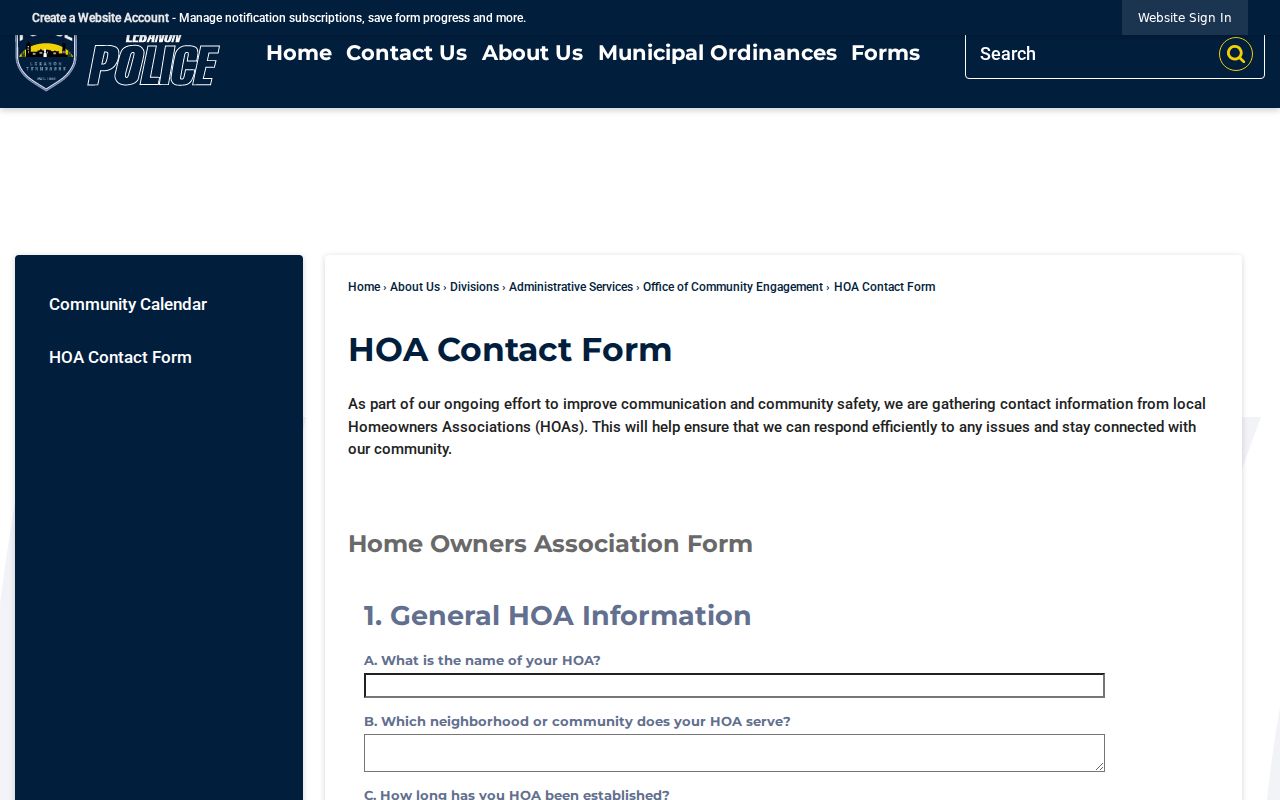
The form’s limited role is important. Use it to update or contact an association through the official channel, not to request a private resident directory.
Lebanon Neighbors Privacy Limits
GIS does not contain renters, household composition, utility customers, delivery information, protected addresses, or ballot choices. Tennessee voter records have public elements for Tennessee citizens but exclude Social Security, driver-license, and Department of Safety identifiers. The public voter form requires a named person plus Wilson County and birth month and year. It cannot be used to browse a block.
Safe at Home can provide a substitute address for qualifying participants, subject to property-record exceptions. Court and vital records have their own limits. A visible map field is never permission to reveal protected information.
Lebanon Neighbors Source Comparison
Official sources and commercial neighbor profiles serve different purposes. A county parcel card is dated tax-record information. GIS is mapped geography. A deed is title evidence. An association site is community contact information. Commercial compilations may combine data from many dates and sources, can be inaccurate, and do not replace checking the actual custodian.
| Official route | Best use | Limit |
|---|---|---|
| GIS and assessor | Parcel and owner-of-record context | Not occupancy proof |
| Deed and plat | Recorded title and subdivision detail | May need name or legal-description search |
| Association contact | Community or board contact | Member data usually private |
For a whole named street, use the Lebanon street address directory. The immediate block method is deliberately parcel by parcel.
Lebanon Neighbors Map Details
Wilson GIS has Parcel Search, Address or Street Search, Map Layers, Results, Identify, Download, and Print. Layers include parcels, address points, roads, subdivisions, zoning, city limits, historic aerials, and other planning context. A legal description is title language, a situs address is the property location, and a mailing address is where tax mail is sent. They may differ without any record being wrong.
Subdivision, lot, and block clues can explain an unusual boundary. Plats and restrictions can explain a split parcel or access route. If a historic street name conflicts with a current result, preserve both names and use the parcel and legal description as the bridge.
Lebanon Neighbors Civic Context
Lebanon’s Boards and Commissions and neighborhood traffic procedures can show civic context, but neither is a general resident list. City groups may petition or request neighborhood changes. The Wilson County Civic League has a public board and program page. These sources are useful for identifying a public organization or process, not for assembling a block roster.
Lebanon’s Boards and Commissions directory is shown below as a public civic reference.
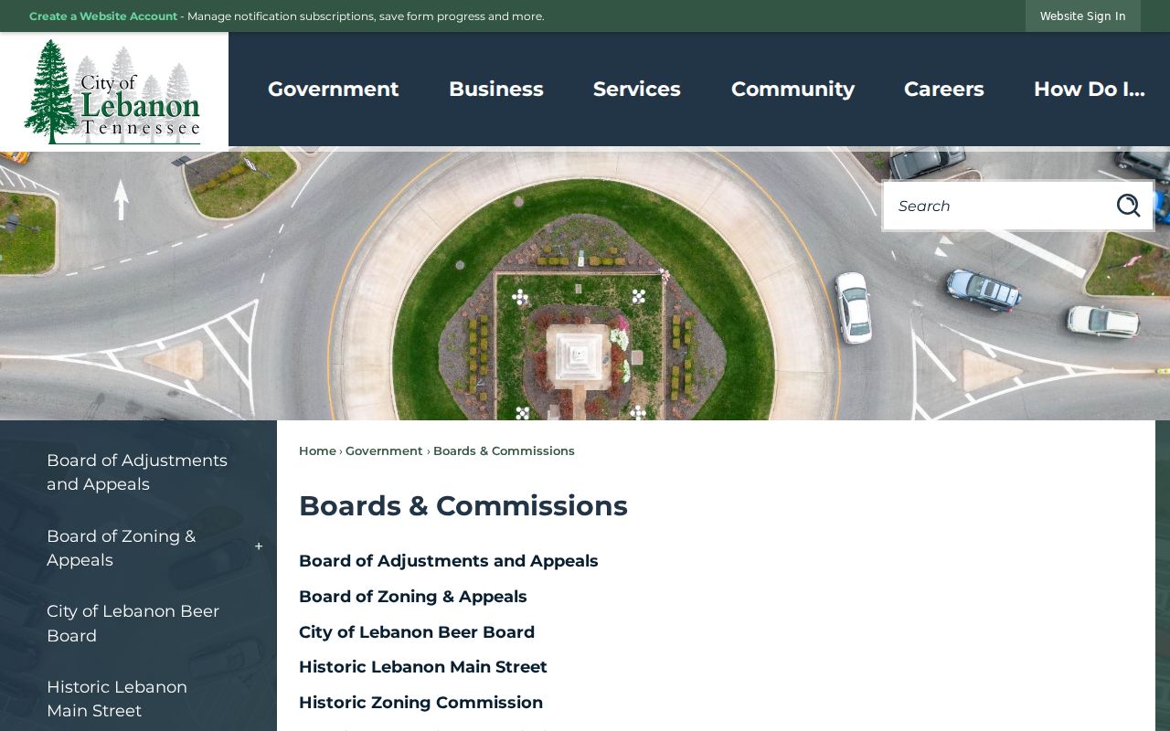
The directory provides public information about civic bodies, not household membership or a block-level resident list. It is useful only when a question concerns a published board or public meeting record.
When a map question reaches a dead end, ask the Assessor or Planning/GIS about the correct parcel identifier, city-limit layer, or address point. For an existing city record, make a focused request by department, date range, address, and record type under the Tennessee Public Records Act.
Lebanon Neighbors Voter Boundaries
The Tennessee voter lookup is a narrow name-and-status check, not a shortcut around the parcel process. It requires Wilson County, a first name, last name, birth month, and birth year. A matching result can help confirm a named registration record when a person is already being researched through independent evidence. It does not allow address, street, block, precinct, ZIP, or map-radius browsing. A voter result also does not prove the person currently occupies a particular house.
Wilson Election Commission records list Lebanon wards 1 through 5 and county commission, constable, and school-board districts. Those maps are civic geography, not household directories. Tennessee registration records are public to Tennessee citizens except Social Security, driver-license, and Department of Safety identifiers, and protected participants may have additional limits. Ask the Election Commission for a specific official access question rather than trying to transform a person-specific lookup into a neighbor roster.
Lebanon Neighbors Historical Parcels
For a block that has changed over time, keep the current parcel ID and legal description before opening an older record. WilsonDeeds says its address search begins in January 2003, so an earlier address may need the owner name, grantor or grantee role, subdivision, lot, map, group, parcel, book and page, or partial legal description. Its time scales also differ by instrument: scanned index pages reach back to 1925, the deed index and image note begins in November 1984, and a deed-image claim reaches much further back. A missing address hit is therefore not proof that a neighboring parcel had no record.
Current and historic street names can also differ. Elm Street became Route 66 in April 2026, which means an older directory, deed, or map may use Elm while a current map uses Route 66. Compare the parcel, cross street, legal description, and date before connecting them. Wilson County Archives, historic directories, public census material through 1950, plats, probate series, and newspapers can provide dated context, but each source must remain labeled as map geography, title evidence, or historical occupancy rather than a current-neighbor finding.
Lebanon Neighbors Records Boundaries
Different record systems answer different block questions. A deed and legal description are title evidence. An assessor card is a tax-roll snapshot. GIS identifies parcel geography and map layers. USPS handles delivery. A historical directory can place a listed person at an address for its own edition, while a voter lookup is a named registration-status check. A code complaint form is an intake record, not a decision or a complete address history. Do not silently replace one kind of address with another when their city, ZIP, or date differs.
For city-held records, the Lebanon records request route and the relevant department are the fallback when a public page has no searchable index. Building Inspection can hold development or inspection material, and the Codes form contains an address-oriented intake channel, but the research did not locate a complete public permit or code-case database. A focused request should name the department, date range, address, record type, and case or permit number when available. That approach respects the limits of the systems and produces a more useful answer than treating a map as a list of households. Keep the map date and parcel ID with each result. It helps distinguish a changed boundary, an older street label, or a corrected address point from a different parcel.