
Start a Lebanon Street Directory Search
Work one address at a time. In Wilson County, an address-point search can lead to a parcel, and the parcel can lead to a tax card and a recorded transfer. Those sources answer different questions. The assessor card is a current tax-roll snapshot. The GIS places the parcel on the ground. A deed identifies recorded parties and a legal description. None of those records alone proves that a particular person lives at the address now.
For a street-by-street project, make a separate row for every parcel rather than trying to turn a road name into one broad people list. Save the street number, current street name, parcel identifier, lot or subdivision detail, owner-of-record, situs, mailing location, transfer reference, and source date. That recordkeeping makes it easier to spot a corner lot, a split parcel, or a number that belongs to a different frontage.
- Enter the exact address in the Wilson County GIS Address or Street Search group. If several matches appear, open the Results list and inspect each address point.
- Use Identify on the selected parcel. Record the parcel identifier and compare the polygon with the frontage on the road layer or aerial basemap.
- Open the assessor result for the parcel. Capture owner-of-record, situs, mailing address, subdivision or lot, transfer date, and deed book or page when shown.
- Use the transfer reference in WilsonDeeds. Search the buyer as grantee and the seller as grantor, then carry the legal description to the next link.
- For an older household question, compare a dated directory or census record with the address and parcel history. A historical occupant is not automatically the titled owner.
Lebanon Street Search in GIS
Wilson County GIS is the best starting point when a street name has many numbers or the address has changed over time. The viewer has Search, Map Layers, Results, and Download tabs. Its Parcel Search and Address or Street Search groups take one search box at a time. Search or Enter runs the request, and the Results list matters when several points match. The Identify tool then exposes property and tax information for the parcel selected on the map.
Turn on only the layers needed for the question. Tax Parcels and address points help match a number to land. Roads, subdivisions, city limits, zoning, districts, and aerial imagery help explain context. Historic aerials can be useful for a physical change, but they do not name an occupant. The download options offer Addresses, Tax Parcels, and Streets in formats such as CSV, KML, and Shapefile; those are map data, not a private household roster.
| GIS control | Input | How it helps on a street | Limit |
|---|---|---|---|
| Parcel Search | Optional text | Finds tax-parcel descriptors when an identifier is known. | Exact values improve a match. |
| Address or Street Search | Optional text | Queries the address-point file for a street number or road. | Use one search box at a time. |
| Results | List | Lets the researcher choose among multiple matches. | Do not assume the first result is correct. |
| Map Layers | Tabs and checks | Adds parcels, roads, zoning, subdivision, district, and aerial context. | Each layer answers a map question, not a household question. |
| Identify | Map click | Returns owner and tax information for the selected parcel. | Check the parcel boundary first. |
| Download | Tab | Offers Addresses, Tax Parcels, and Streets in GIS formats. | The REST service has a 2,000-record maximum. |
Lebanon Street Directory Parcel Fields
The Wilson County Property Assessor maintains about 53,000 cards, with web data described as updated weekly. A card can supply the street address, owner names, parcel ID, owner mailing address, subdivision, lot, dimensions, acreage, construction data, values, assessment classification, and a transfer sale amount, date, and deed volume or page. The state TPAD search also supports owner, property-address, subdivision, classification, sale-date, and parcel fields.
Use the card as a snapshot, not a conclusion about a household. An owner can receive mail elsewhere, and a mailing address can be a stronger lead for a later deed search without showing occupancy. The county mailing-address-change form asks for both property address and Map and Parcel ID, as well as a new mailing street, city, state, and ZIP. That form is direct local evidence that those fields are intentionally separate.
- Parcel
- A defined piece of land in the county assessment system. It lets a researcher link the mapped polygon to the tax card.
- Situs address
- The physical property address used to locate the parcel. It can differ from the owner’s mailing address.
- Plat
- A recorded map that can show a subdivision, lot, block, easement, or layout. A plat is not the same as a street address.
- Criss-cross directory
- An older directory arranged by address rather than only by name. It can offer dated occupancy evidence when a local volume is available.
Lebanon Address Records Compared
A street directory is assembled from records with different purposes, not from one official roll of everyone on a road. Start with the county’s address-point and parcel layers, then decide whether the next question is title, mapped geography, a historical occupant, or a city file. Keeping the source purpose alongside each result prevents a transfer record from being mistaken for proof of residence.
| Address source | Local keeper | What it can show | Important boundary |
|---|---|---|---|
| Assessor card | Wilson County Property Assessor | Owner, parcel, situs, mailing, values, improvements, and transfer detail. | Owner-of-record is not an occupant finding. |
| GIS viewer | Wilson County GIS | Parcels, address points, adjacent polygons, roads, zoning, districts, and aerial context. | A map is not a household list. |
| Recorded instruments | Wilson County Register of Deeds | Grantors, grantees, dates, document type, legal descriptions, book or page. | Address search begins with recent recordings. |
| TPAD result | Tennessee Property Assessment Data | Owner, property address, control map, group, parcel, subdivision, lot, class, and sale date. | No ZIP search field was located. |
| City records request | Lebanon Building Inspection or Codes | Existing address-keyed construction, inspection, or complaint material when held. | No complete public permit or code-case database was located. |
| Historic directory or census | Library, archives, and historic collections | Dated person-and-address or household context. | Local directory runs and exact years are not fully published. |
A parcel ID is the strongest bridge across these sources. A road name can change, a ZIP can cross a boundary, and an address point can have close matches. The legal description and the transfer reference help retain the same land when those labels shift.
Lebanon Streets in WilsonDeeds
WilsonDeeds records deeds, trust deeds, plats, liens, restrictions, easements, releases, and other instruments. Its normal party search accepts a last name or name, a Grantor or Grantee role, category, document type, date range, book or page, instrument number, subdivision, lot, block, map, group, parcel, district, and partial legal description. Pure Alpha is the default name rule, so spaces, punctuation, and special characters are stripped. Search variations when a surname or company name does not behave as expected.
The useful street sequence is current assessor transfer, then buyer as grantee, then seller as grantor, followed by the seller’s earlier acquisition as grantee. Note the party role, recording date, document type, book or page or instrument number, legal description, and consideration if displayed. A release or satisfaction can close a financing instrument but does not itself prove a new ownership transfer. A plat or easement can explain why an address and a road relationship look unusual.
The WilsonDeeds search guide shows the site’s name, document, and browse approaches for a Lebanon street directory search.
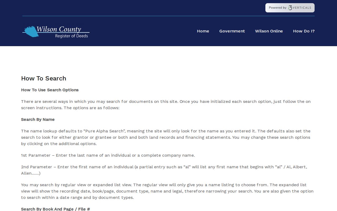
Use the mode that matches the evidence in hand. A recent transfer may be found with a party and date. An older reference may require a book, page, legal description, or scanned index page instead of the present street address.
Lebanon Street Address Mailing Fields
Do not merge the assessor’s situs and mailing fields into one address. Situs identifies the property. Mailing information tells the assessor where the owner receives tax correspondence. A titled owner may live elsewhere or use a different mailing address. Conversely, a person associated with an older address record may have no current title interest. The property card and the mailing-change form both make that distinction visible.
There are other geography traps. Lebanon Planning and county GIS show address points, roads, parcels, city limits, subdivisions, zoning, the Urban Growth Boundary, and districts. The Census describes ZCTAs as approximate delivery areas rather than legal city boundaries. A Lebanon mailing address can lie outside incorporated limits, and a city parcel can use a nearby post-office routing. Preserve the source’s city, ZIP, parcel jurisdiction, and map layer instead of silently replacing one with another.
Note. For a disputed number, ask Planning or GIS which address point and tax parcel are current, then use USPS exact-address verification for delivery information.
Lebanon Voter Lookup Limits
The Tennessee Voter Registration Lookup and Absentee Ballot Status Tracker is a named registration and status check. It requires County, First Name, Last Name, Birth Month, and Birth Year. Wilson must be selected as the county. The public form is not a browse-by-road tool, and a match should not be treated as proof of a current household. It is one check for a person whose identifying fields are already known.
Tennessee’s online-registration material says voter registration records are public to Tennessee citizens except Social Security numbers, driver-license numbers, and Department of Safety ID. Protected participants can have additional limits. The Wilson Election Commission can address an exact-card or nonmatch question, but the research did not locate a public whole-street voter file or a statewide voter-file order form. Do not try to turn a person-specific result into a block list.
Lebanon Street Names Through Time
Street continuity is a local research problem. Lebanon’s official REDI notice reports that Elm Street was renamed Route 66 on April 1, 2026 after council and public-hearing action, with a signage transition. A current GIS search may therefore favor Route 66 while a deed, directory, map, or newspaper uses Elm Street. Keep both forms in the research row, then compare parcel, legal description, cross street, and date before deciding that the records concern the same place.
WilsonDeeds also has distinct time scales. It states deed images back to 1793, scanned index pages back to 1925, deed index and image coverage from November 1984, and address search from January 2003. Those cutoffs explain why an older Lebanon street directory question usually needs a name, lot, subdivision, or legal-description search. The absence of an address hit before that address-search start is not evidence that the land had no recorded history.
Lebanon Historical Address Evidence
For a past household, begin with a dated address and edition rather than assuming a full local run exists online. The Lebanon-Wilson County Public Library is a practical reference stop for directories, reverse or criss-cross books, telephone books, Lebanon Democrat material, Cumberland yearbooks, and licensed genealogy access. Its public site does not publish an exact shelf inventory, so ask the reference desk for the street, surname variants, and approximate years needed.
National directory collection evidence includes a Lebanon entry for 1927 within an 1822–1995 collection. An entry can include a surname and given name, spouse notation, street address, owner or renter marker, occupation or affiliation, business listing, telephone, widow notation, and abbreviations. Check the page image and abbreviation key. A directory’s notation belongs to its own edition, and OCR can miss initials or a street section.
Federal census releases reach 1950 for public household research. Pair a directory around 1927 with the 1930 census, a deed, or a newspaper item instead of presenting it as a 1930 household fact. For a backward address trail, the directories and census are addressed in more depth on the Lebanon past residents page.
Lebanon Address Requests and Permits
Building Inspection and Codes material can add a construction, alteration, or complaint-address context, but Lebanon does not expose a complete public permit or code-case lookup. The city’s Codes complaint form asks for a violation address, ward, summary, and optional picture. That is an intake channel, not proof of a completed case or an index of all activity at an address. A city file should be requested by department, date range, address, record type, and case or permit number when known.
The Tennessee Public Records Act, T.C.A. §§10-7-501 et seq., covers existing public records, not a request that an office create a new street roster. Under T.C.A. §10-7-503(a)(2)(B), a custodian should provide records or a written response within seven business days when they are not immediately available. Inspection is generally free unless a lawful fee applies, while copying and delivery may cost. Ask for an estimate and identify the existing record precisely.
Lebanon Street Directory Research Terms
Some records use similar words for different things. A legal description is the title language used in recorded instruments. A map-and-parcel identifier is an assessment-system label. A street address is a practical location label. A subdivision lot or block can appear in a plat and in a deed, but it should be checked against the current parcel rather than treated as a substitute for it.
When a result is unclear, write down the exact source text before normalizing it. Preserve the spelling, party role, source date, and whether the result came from a tax card, map layer, index, image, or directory edition. That small discipline is especially useful with company, trust, estate, junior, senior, and punctuation variations in a deed index.
Limits of a Lebanon Street Directory
A street directory can show the record trail attached to land, not every person connected to a road. GIS offers polygons, address points, and layers. The assessor identifies owner-of-record and tax fields. WilsonDeeds records parties and legal interests. Historic volumes may place a person at an address for a given edition. Utility customer data, delivery information, motor-vehicle personal data, and many household details are not a street-search product. Treat a blank field as unknown, not as an invitation to infer it.
Lawful personal research. Use Lebanon street and address records for family history, property history, civic questions, or confirming an existing record. Tennessee law addresses stalking and harassment in T.C.A. §§39-17-315 and 39-17-308; never use an address trail to threaten, surveil, intimidate, or harass anyone.